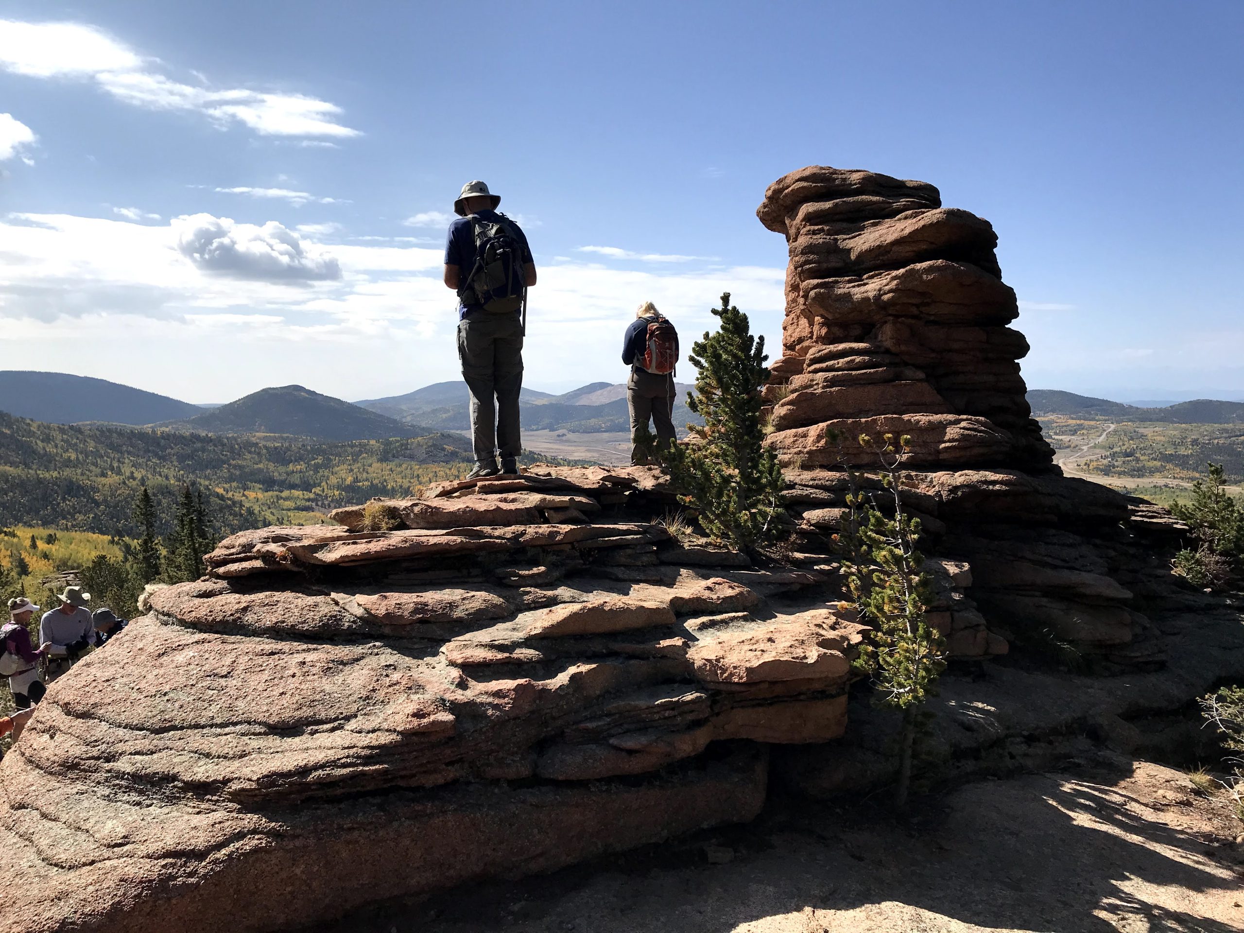
Members of Trails and Open Space Coalition take in the specaular views from Pancake Rocks, the current southwest end of the Ring the Peak Trail.
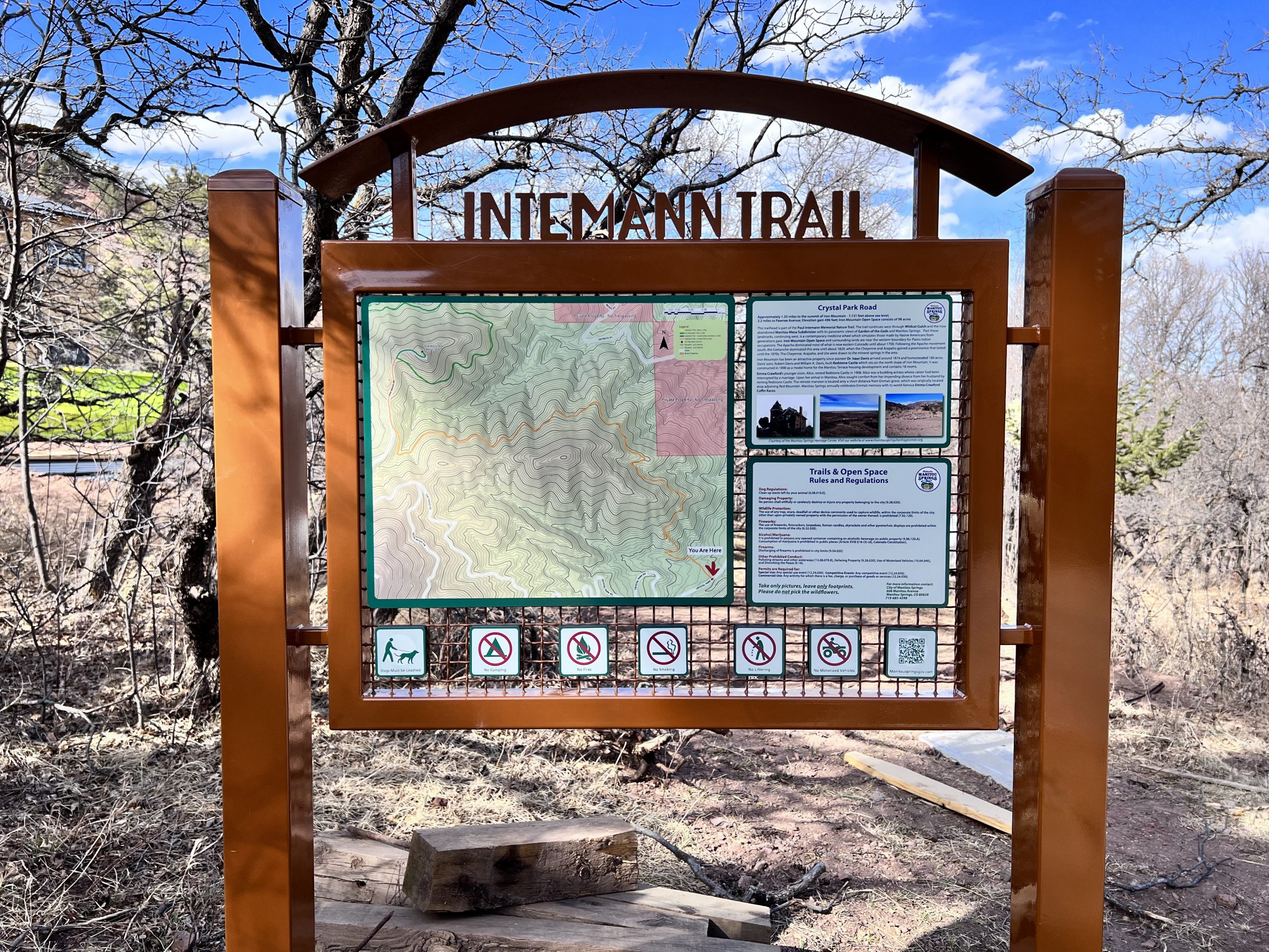
Intemann Trail portal to the Ring the Peak Trail located in the City of Manitou.
Since 2015, the Trails and Open Space Coalition has worked tirelessly to complete a multi-use trail around Pikes Peak – America’s Mountain. First formally envisioned in the 1999 Pikes Peak Multi-Use Plan, what was then termed the Perimeter Loop Trail became the Ring the Peak Trail when the nascent group Friends of the Peak began laying out a route using existing trails and roads. With that effort, the Ring the Peak Trail became a reality and began showing up on numerous trail maps.
By 2014, Friends of the Peak had designated nearly 63 miles of trail through multiple jurisdictions and negotiated trail easements on private property. Unfortunately, agency negotiations and private landowner agreements had stalemated by then and Friends of the Peak sought out the assistance of TOSC to move the project forward.
TOSC began its effort by applying for and receiving a planning grant from Great Outdoors Colorado (GOCO). After two years of public meetings, discussions with local State and Federal land managers, a master plan for completing the Ring the Peak Trail was finalized in 2019. Ongoing discussions with these agencies stalled until 2023 with little progress being made.
We hope that these new efforts by Local, State, and Federal land managers will result in an agreement that will allow the completion and proper management of the the Ring the Peak Trail. For more up-to-date information on the progress of these negotiations, please go to the official Ring the Peak Trail website.