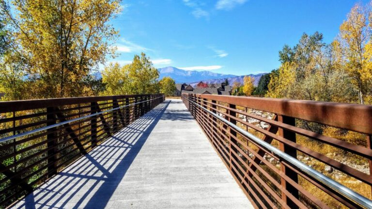
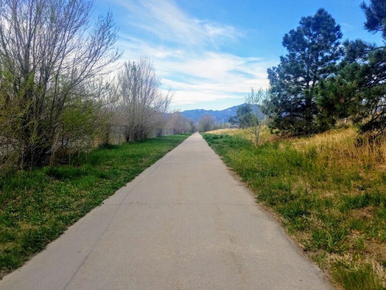
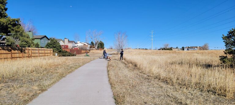
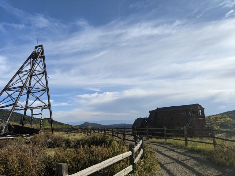
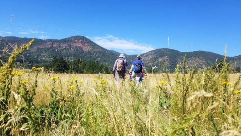
Key
Regional Trails:
Briargate
Cottonwood Creek
Crews Gulch
Foothills
Fountain Creek
Homestead
New Santa Fe
Pikes Peak Greenway
Rock Island
Sand Creek
Shooks Run
Sinton
Skyline
Templeton Gap
Woodmen East
Other:
Trails located within a Park or Open Space
NOT Stroller Friendly
North
John Venezia Park – 2 miles of interior sidewalks. Connects to Briargate trail (along Briargate Parkway)
Cottonwood Creek Trail – 6 miles one way. Nice wide concrete trail from Powers Blvd to under I-25, connects to Pikes Peak Greenway/Santa Fe/Front Range Trail! If you park at Cottonwood Creek Park / YMCA, there are several great loops. There is also a nice 2 mile loop around Cottonwood Creek, on the Cottonwood Creek Trail which is paved on one side of the creek and gravel on the other side.
Briargate Trail – 1.25 miles one way, connects to Candleflower Park.
Homestead Trail – 5 miles one way, several neighborhood parks along this trail. Please note, there are also several street crossings. It has some new section of concrete, but most is asphalt (some sections are very rough and deteriorated). The map linked to is outdated but it gives you a good idea of where the trail is located. There is still a missing section (about a mile) between the Northern and Southern segments at Stetson Hills; 5 miles refers to only the Southern Section.
Skyline Trail – About 2 miles of trail, connects to Rampart Park, loop around Rampart Park is about a mile.
Black Forest Section 16 – 4 mile square loop in the woods. Black Forest Section 16 is a 640-acre open space nestled in the Black Forest. Multi-use perimeter trail is open to all non-motorized users, including equestrians!
New Santa Fe Trail – 14 miles one way, pleasant six-foot wide gravel trail. Part of the Colorado Front Range Trail, this section beginning at Palmer Lake, passes through the Air Force Academy (be sure to stay on trail, please do not trespass), then connects to Cottonwood and/or Pikes Peak Greenway Trails.
West
Quail Lake – 1 mile loop around the lake.
Central Garden Trail – 1.5 mile loop takes you past the largest iconic rock features in the Garden. You could also walk along the roads.
Foothills Trail – 2 miles out and back, nice wide concrete trail runs alongside 30th St. and connects to the Sinton Trail. This is a commuting corridor, so expect to share the trail with runners and bikers.
Goose Gossage Youth Sports Complex & Park
Sinton Trail – about 3 miles one way, trail starts just north of Gossage Youth Sports Complex on Mark Dabling Blvd and flows along side a small drainage canal. This trail is narrow compared to other urban trails, but it still has plenty of room for a stroller. There are a couple street crossings, but when you travel through Douglas Creek Open Space you are surrounded by lush greenery, you’re able to forget you are in the center of the city. Sinton Trail connects to the Pikes Peak Greenway and the Foothills Trail. Sinton Pond is a great short, less than a mile round trip, outing from the baseball fields at Goose Gossage Park! (detour to the pond is not paved)
Pikes Peak Greenway – 2 miles one way to get to our beloved Popcycle Bridge at the northern end of Monument Valley Park!
Templeton Gap Trail – 4.5 miles one way, connects to the west end of Palmer Park. Note: trail has an on-street crossing at Nevada and goes under Union and Austin Bluffs.
Reservoir Access Road/Trail – 2 miles one way, Stratton Middle to Stratton Lower parking lot.
Hodgeback Trail – 3.5 miles loop – Park at 31st, Red Rock Rim Trail/Hogback Valley/Lion Trails/ Red Rock Rim Note: Lion Trails forks and becomes a difficult trail!
Mesa Valley Trail – 3 miles out and back.
Bear Creek Regional Park – Several options, most of the trails are wide enough for a stroller.
West – 3.5 miles out and back, starting at the nature center.
East – 2 mile loop, with two options to make it a shorter loop.
Downtown
Wildflower Park – There is a network of paved and dirt paths throughout and near this park; the exterior trails make a nice 1 mile loop with an option to connect to the Sand Creek Trail. Lots of open space for kids to run and play, along with great mountain views! Get a preview of Sand Creek Trail, 5.3 mile moderately trafficked out and back trail transitions between pavement and dirt.
Memorial Park – 1 mile loop around Prospect Lake. Plenty of other paths and sidewalks at the park if you want to extend your walk. Map for 5k route.
Rock Island Trail – 6 miles one way. Trails runs east/west from Powers to Shooks Run Trail. (There is another segment in Falcon)
Shooks Run Trail – 4 miles one way Note: several street crossings & minimal signage. Trail runs north–south along Shooks Run Creek.
Front Range Trail – Pikes Peak Greenway aka Front Range Trail is about 16 miles total. This popular multi-use trail that runs north to south across the whole city of Colorado Springs. It connects to a number of other trails and with multiple trailheads it is easily accessible from many parts of the city. For the most part the trail is wide and paved (turns to gravel to the North when it becomes the Santa Fe trail and South when it becomes the Fountain Creek Trail) with gentle change of elevation.
Mesa Trail – 2 mile loop in the off-leash/dog run area. Park at the Yucca Flats Trailhead. Nice wide trail with great views of Garden of the Gods and Pikes Peak.
Monument Valley Park – Mild 5 mile loop around Monument Valley using the Pikes Peak Greenway which transitions between pavement and gavel, and travels on both sides of Monument Creek. This park is a beautiful, historic and has several recreational amenities – gardens, ponds, playgrounds, sports courts & fields, swimming pool, historic geological structures… this park has it all!
South
Widefield Community Park – 0.5 mile loop around the park, trail transitions from pavement to gravel. Connects to Crews Gulch Trail which is 2.5 miles long (mostly gravel) and leads to Fountain Creek Regional Trail.
Adams Open Space & Metcalfe Park– 2.5 miles out and back.
Clear Springs Ranch – 4.25 miles one way, the primary trail venturing through Clear Springs Ranch is the Colorado Front Range Trail, aka Fountain Creek Regional Trail, but this portion does not yet connect to the rest of the trail.
Bluestem Prairie Open Space – 2-4 miles (7 miles of trail, but only the first section is wide enough for strollers) NOTE: No dogs are allowed, due to wildlife.
Fountain Creek Regional Park – The park itself is a combination of four smaller parks: Willow Springs Ponds, Cattail Marsh Wildlife Area (home of the Fountain Creek Nature Center), the Duckwood Active-Use Area, and Hanson Nature Park.
Each of these areas are adjacent to Fountain Creek and connected together by the Fountain Creek Regional Trail, aka Front Range Trail. Fountain Creek Regional Trail is approximately 2.5 miles long from Fountain Creek Regional Park’s northern boundary at Willow Springs Ponds to its southern boundary at Hanson Nature Park. This, makes for an approximate five mile long, there and back again hike.